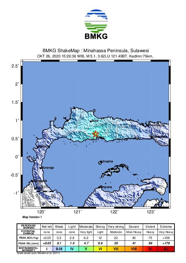
On Friday, 30 October 2020 at 21:47 PM, Pakuli, Sigi Regency, Central Sulawesi Province was rocked by a tectonic earthquake. The results of the Indonesia’s meteorology, climatology and geophysical agency analysis show that the initial information about this earthquake is magnitude M = 4.5. The epicenter is located at coordinates 1.23 LS – 120.02 East Longitude or precisely located on land, 8 km east of Pakuli, Sigi Regency, Central Sulawesi Province at a depth of 10 km.
Muhlis, Pakuli residents said that they felt 2 times strong earthquake, but there were no buildings collapsed or casualties due to this earthquake.
According to Head of the Palu Geophysical Station, Cahyo Nugroho, based on the epicenter location and hypocenter depth, it appears that this earthquake is classified as a shallow earthquake due to local local fault activity.
This earthquake was felt by III MMI in Kulawi; The modeling results show that the earthquake has no potential for a tsunami. The public is urged to remain calm and not be affected by issues that cannot be justified.
cahyo nugroho asked residents to ensure that official information only comes from BMKG which is disseminated through verified official communication channels (Instagram / Twitter @infoBMKG), website (www.bmkg.go.id), or through Mobile Apps (iOS and Android @infobmkg)
The public is advised to remain calm and continue to follow BMKG information. ***


